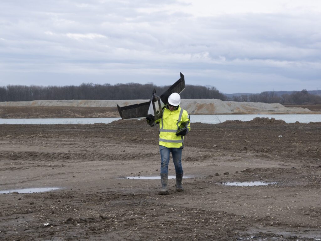
Photogrammetric measurements and modern low-altitude surveying
In 2026, spatial data acquired from the air is a standard in effective investment management. Geo company sp. z o.o. possesses an advanced fleet of unmanned aerial vehicles (uav), allowing for photogrammetric measurements with centimeter accuracy. Thanks to our structure of 9 branches, we are able to deliver precise digital developments across the country, reducing field measurement time by 80% compared to classical methods.
Our low-altitude photogrammetry is not just photos – it consists of intelligent point clouds and models that become the foundation for design in bim and cad systems.
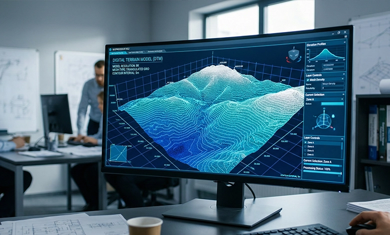
Orthophotomap and precise 3d models of terrain and structures
A key product of our flights is the high-resolution orthophotomap, which serves as an up-to-date and faithful base for topographic maps for design purposes. Unlike satellite imagery, our developments feature a pixel size (gsd) of even 1-3 cm, allowing for the identification of the smallest infrastructure details.
Simultaneously, we create digital terrain models (dtm) and 3d building models. They allow for:
-
Virtual site inspections: without leaving the office.
-
Precise cross-sections: and terrain profiles.
-
Clash analyses: and visualizations of planned objects in a real-world environment.
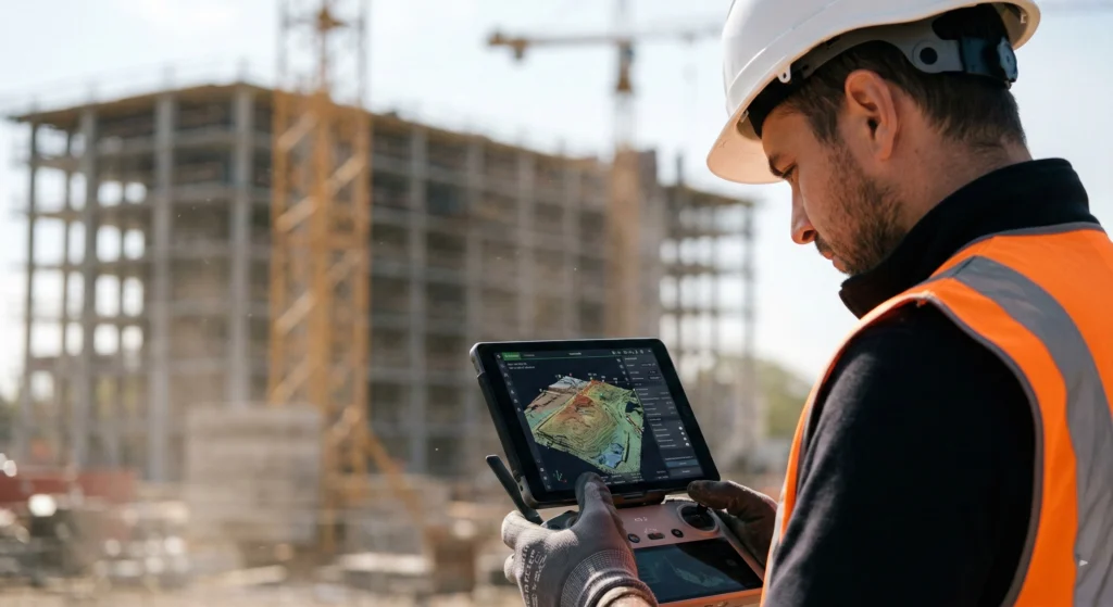
Construction inspections and uav film documentation
Safety and control are priorities on every construction site. We offer professional aerial construction inspections, which are indispensable for examining the technical condition of hard-to-reach places such as pylons, chimneys, roofs, or bridges.
Our services also include:
-
Film and photo documentation: cyclical progress reporting for investors and supervision.
-
Drone thermal imaging: detecting leaks and thermal bridges in industrial facilities.
-
Hse monitoring: non-invasive control of order and safety on the construction site.
Volume measurement of stockpiles and earthworks
Traditional methods of measuring earth masses are time-consuming and prone to human error. Measuring the volume of stockpiles using the photogrammetric method allows for instant and non-contact calculation of the cubature of bulk materials, aggregates, or spoil.
Thanks to dense point clouds (hundreds of points per $m^2$), we guarantee:
-
Precise settlement of earthworks.
-
Inventory of stock levels in mines and depots.
-
Generation of volume reports in formats compatible with your software.