Hydrographic surveys and advanced 3d bathymetry
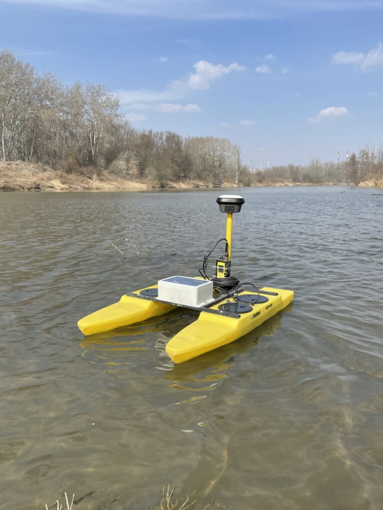
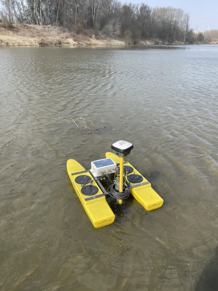
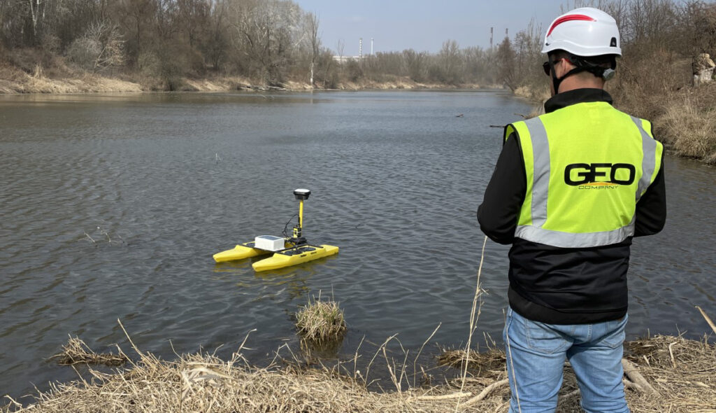
Modern water engineering requires data of the highest reliability. Geo company sp. z o.o. provides comprehensive hydrographic surveys for ports, power plants, water management boards, and private investors. By utilizing multibeam echosounder technology and precise gnss positioning, we deliver underwater maps with centimeter accuracy. Our network of 9 branches allows for rapid equipment mobilization and project execution on any water body in poland.
Bathymetric plans and 3d seafloor modeling
A precise bathymetric plan is the foundation of any investment carried out on water. We create detailed seafloor topography maps essential for designing quays, underwater pipelines, or river regulations. Our developments include:
-
Digital 3d seafloor models: visualization of underwater topography as point clouds or mesh grids.
-
Detection of underwater obstacles: identification of objects that may pose a threat to navigation or hydrotechnical works.
-
Slope and depression maps: key data for the safety of hydraulic structures.
Seafloor cross-sections and volume calculations
For dredging and maintenance needs, we perform detailed transverse and longitudinal seafloor sections. These allow for ongoing monitoring of riverbed or reservoir conditions and verification of underwater earthworks. We specialize in volume calculations, which allow for:
-
Precise determination of spoil volume during dredging works.
-
Siltation analysis of retention reservoirs and industrial sedimentation tanks.
-
Earthwork settlement for the construction of embankments and quays.