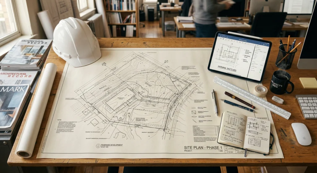
Industrial surveying and specialized engineering measurements

Industrial surveying by Geo Company Sp. z o.o. is a synonym for millimeter precision in the most demanding construction and production environments. We perform advanced engineering tasks where error is not an option, and structural safety depends on the reliability of the measurement. With a modern equipment fleet and the experience of our teams in 9 branches, we support the largest industrial investments in Poland.

What do we do in industrial surveying?

Our range of services is designed to comprehensively support the process of erecting and operating engineering structures:

  • Measurements and alignment of steel structures: We ensure the perfect fit of elements, which is key to the stability of halls, overpasses, and building skeletons.

  • Quality control measurements during implementation: We verify the compliance of works with the design on an ongoing basis, eliminating the risk of costly corrections at later stages.

  • Monitoring of settlements, displacements, and deformations: We conduct systematic observation of object behavior under loads, which is essential for the safety of critical infrastructure.

  • Verticality measurements of slender structures: We examine the geometry of chimneys, pylons, columns, and masts, providing precise verticality test reports.

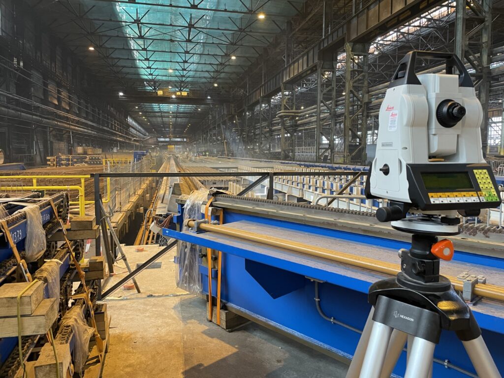
  • Geometry and alignment of crane rails and equipment: We specialize in surveying gantry crane tracks and their professional alignment (rectification), ensuring their trouble-free operation.

  • Displacement and deformation measurements of equipment: We monitor the geometry of machinery and production lines, where axial consistency and foundation flatness are key.

Why choose Geo Company for industrial projects?

In industrial surveying, it is not only the equipment that counts, but above all, engineering responsibility.

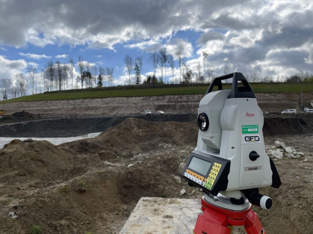
  • 2026 Technology: We use high-precision digital levels, industrial total stations, and 3D scanning to deliver data of the highest reliability.

  • Response speed: Thanks to 9 branches (Krakow, Warsaw, Poznan, Wroclaw, and others), our survey teams can be on your construction site within a few hours.

  • Documentation: We provide clear reports and analyses accepted by the most rigorous construction and investor supervision.

Surveying support for construction investments

Construction surveying support is a key element of every construction process, guaranteeing precision and safety in project implementation. Without professional surveyor support, it would be impossible to correctly position the structure in the field and ensure compliance with building law regulations. Our team provides comprehensive technical support at every stage – from the initial measurements to the final commissioning of the building.

Modern surveying requires not only knowledge but also a modern technical base. We utilize advanced GPS systems and photogrammetry, allowing for instant and error-free documentation processing. Consequently, every construction surveying project conducted by our experts is characterized by the highest quality and reliability.

Map for design purposes – the foundation of your investment

A correctly prepared map for design purposes is the first and most important step for every investor. This document is essential for obtaining a building permit and developing the architectural design. The surveyor updates the base map, adding all significant terrain features and underground utilities that may affect the progress of works.

It is worth noting that the map for design purposes forms the basis for further design and planning activities. Our developments are accepted by authorities and design offices across Poland, which significantly speeds up administrative procedures. We ensure that every measurement is precise, eliminating the risk of costly errors at later stages of construction.

Construction surveying support step by step

Professional construction surveying support begins at the moment of setting out the structural axes of the building in the field. During the construction process, our surveyors continuously monitor the correctness of structural element assembly and the installation of utility networks. This approach allows for the immediate detection of potential deviations from the design.

Our work, however, does not end with the foundations. We accompany contractors during the erection of subsequent floors, ensuring the verticality and alignment of the structures. Thanks to this, the investor can be sure that the building is constructed in strict accordance with technical assumptions.

Frequently asked questions

The duration depends on the project's scale. Measurements for a map for design purposes usually take from a few days to several weeks, while construction support lasts throughout the entire investment implementation period.